Audio transcript for video:
Hello Hiking for Hunger community. First of all before I get into what I am recording this video about, I just wanna say I got in a fight with a bear! And I won, so go me! … just kidding y’all. I did not get in a fight with a bear, but I did drop my phone on my face when I was like doing one of these, like staring at my phone while I was in bed, and the corner of the phone hit right here and gave me a black eye. So, that’s thing that happened. I am fine- I did not fight a bear or get into a fist fight. I just dropped my phone on my face like a silly person. So, all good on that front.
Now I want to share with y’all I’m the real meat of this video and this post. Umm this is a hard thing to share… but in a nutshell, I have decided, for both personal and financial reasons, that I am ending my PCT thru hike for now. This was a really hard decision to make for a lot of reasons, but it’s the right decision for me right now. And I intend to come back for this trail when the time is right- that time just is now. So yeah- not an easy thing to share, but wanted to share that with y’all.
I am really excited that before hopping off trail yesterday, the day before for the last time, I calculated my mileage and I did hike over 2,000 miles of this trail. So that feels really good, that’s an accomplishment in and of itself, so I’m holding onto that. And I know I will be back for the Sierras and the part of Washington that I didn’t get to hike. So yeah, this isn’t the end of my PCt journey, it’s just the end of my PCT journey this year.
So, a lot of y’all are probably wondering what this means for the fundraiser. Well, I’m really excited to let y’all know that we actually have a $10,000 gift that puts us at just over $36,000 raised, thanks to this $10,000 gift. So we have just under $4,000 left to raise to reach our goal of $40,000. Which is so exciting. I mean, $36K is already so amazing (over $4K more than we raise on the AT!), but I just want to put it out there that you can still donate. We’d love to get to the $40,000 mark and goal. So please- feel free and go donate today!
And lastly I just, yeah, wanna thank y’all so much for following along with me and on this journey. Umm yeah it’s been really incredible to be hiking the PCT. It’s been very different from the AT… yeah PCT has been a whole other experience. Not just in terms of all the crazy logistics, but also some life things that have come up. And yeah, just some really unexpected hard things that I just need to, just need to let it go right now. But it’s been an incredible experience, and just want to thank y’all so much for following along. Alright, I’ll talk to you later… bye ♥️
With love,
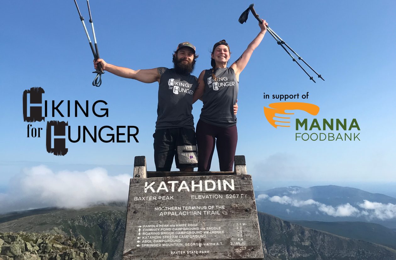
Hero
.
.
.
.
#hikingforhunger #beyourownhero #foodinsecurity #foodsecurity #foodislove #endhunger #feedingamerica #ashevillenc #AVL #westernnorthcarolina #WNC #PCT #pacificcresttrail #PCT2023 #PCTthruhikers #mexicotocanada #thruhike #veganathlete

